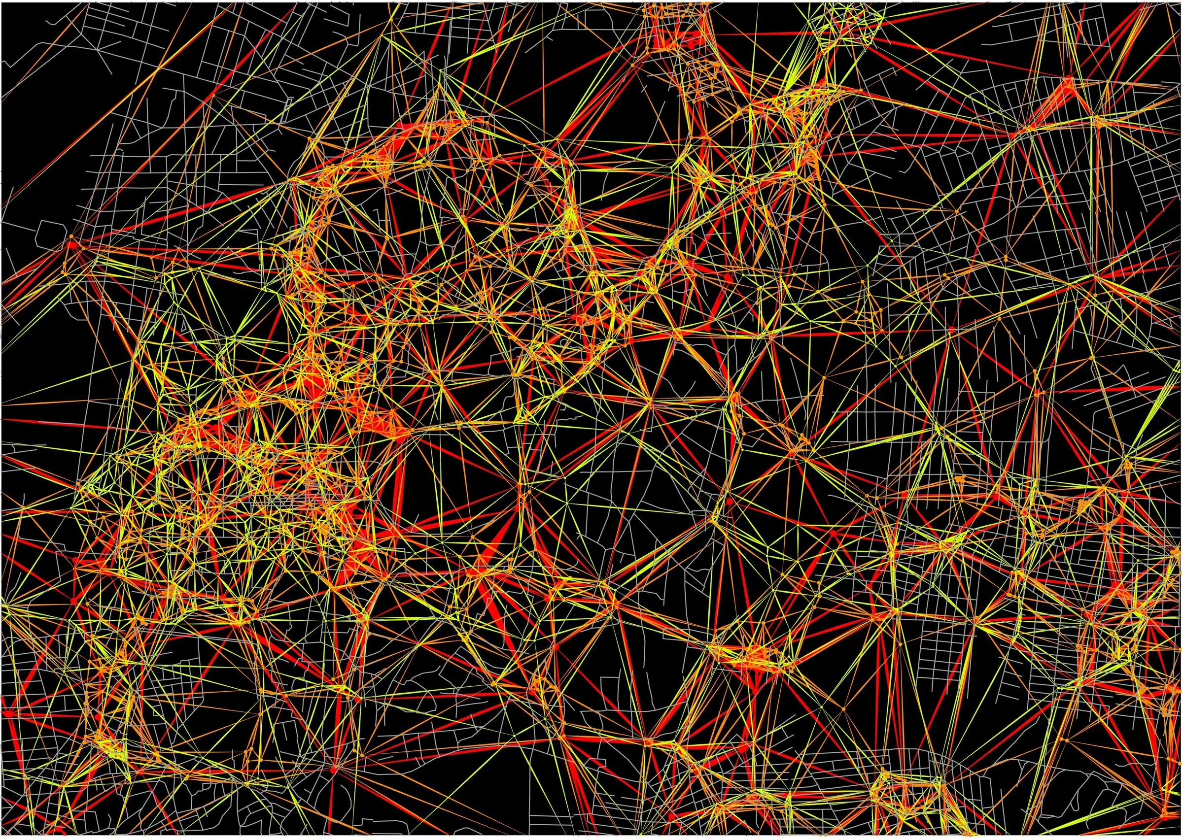
A map of the damaged and destroyed buildings in the old city of Aleppo, read as a web of strings.
The project shows how dense the damage is in each area. The damage data comes from UNOSAT. Every damaged location is a point, and lines tie the points to each other, so the web grows thick where the damage is heaviest.
From points to a network
First the data is only dots on a blank outline: red and yellow, thick in the west and thin in the east.
Shortest paths
Then the points are connected by their shortest paths. The network grows into a tree, with the main branches carrying most of the connections.
Two versions of the shortest-path network.
Data made visible as a web of strings and relationships.
The city, before and after
Satellite imagery of two districts before and after. Source to confirm.
- Place
- Old city of Aleppo
- Year
- 2018
- Method
- Mapping damage points, then connecting them with shortest paths